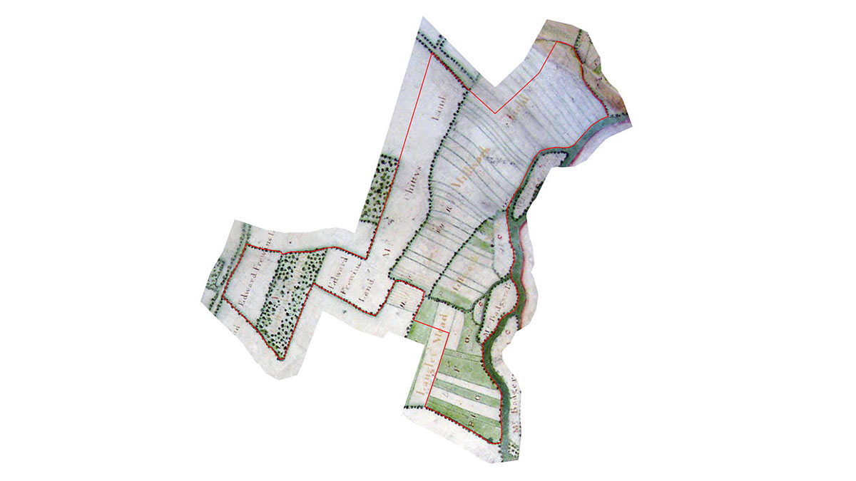
Langley Mead is over 18 hectares of countryside along the banks of the River Loddon, made accessible to the public for recreation and enjoyment as Suitable Alternative Natural Greenspace (SANG).
The site has been the subject of an ongoing project to restore agricultural land back to the biodiverse landscape that once existed here. The project is led by University of Reading as part of development proposals for the South of the M4 Strategic Development Location (SDL). It aims to create an area that provides a visually stimulating, attractive and educational environment for local people to visit and to enjoy.
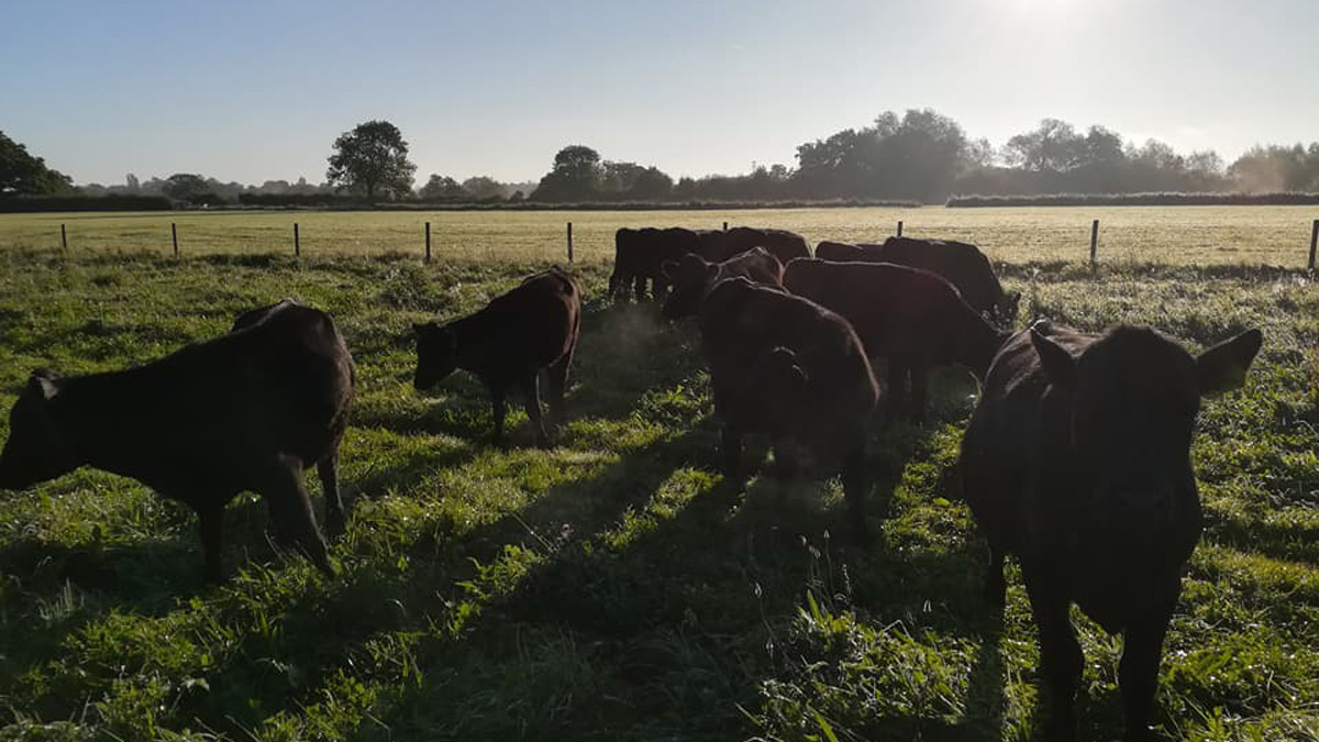
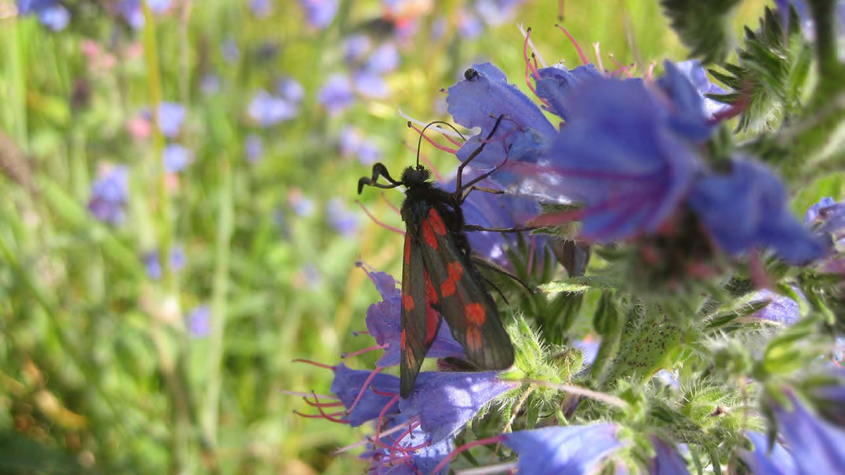
Langley Mead provides a habitat for a range of wild plants and animals that contributes to visual interest and environmental conservation.
The site is managed under the supervision of a ranger to maximise the benefits for both wildlife and people. If you need to contact the ranger you can call 0118 378 6300 (emergency) or 0118 378 7799 (non-emergency).